Fig. 6. John Robinson to Glade Spring Church Trustees (black square)
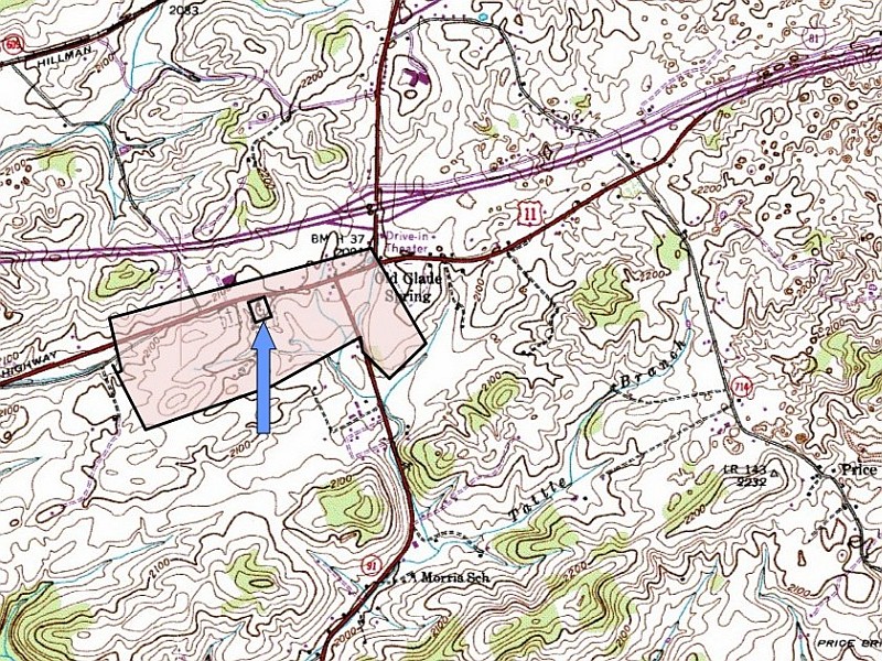
The USGS map above was produced after Old Glade Spring Church had expanded to include a second, larger cemetery. The church and old part of the cemetery is indicated by the arrow. The new cemetery sits slightly west and is noted by a cross.
A road runs south between the two sections of the cemetery (more easily visible on Fig. 5). It led to the first church parsonage which sat on land sold to the congregation in July 1867 by Ebenezer A. and Rebecca Robinson. In 1943 the old parsonage land was exchanged for 6 acres of additional land for the newer cemetery.